HastaLaWisla
An experimental web app for discovering the Vistula River and attractions around it.
Original project evidence
Explore the project.
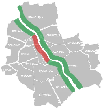
01Browse+
The original main and menu templates provide the entry screens.
02View details+
A dedicated detail-screen template holds the selected item.
03Open the guide+
A quick-guide template is preserved in the source. No current tourism data is claimed.
Discovering the river
HastaLaWisla explores a web experience for discovering the Vistula River and attractions around it. The source preserves a frontend, backend, and a collection of supporting data.
The interface in the archive
The frontend includes separate main, menu, detail, and quick-guide templates. These give a concrete starting point for restoring the original browsing experience rather than inventing a replacement design.
What this page establishes
The walkthrough identifies those preserved screens. It is not a currently maintained local guide, and no historical opening hours or attraction data should be treated as current recommendations.
The next exhibit should render the original templates with a small, clearly labelled set of archival or fictional records. Original screen structure can be preserved while removing calls to historical services.
Recognition
- Winner of WawCode, Spring Edition — WawCode, Mar 2016